Emergency Planning Zones, Information Brochures, and Calendars
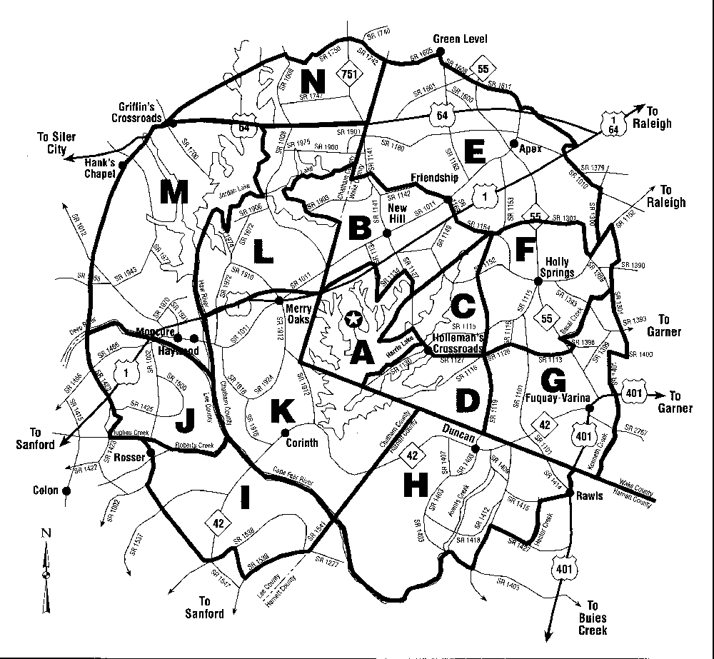
Emergency planning includes the 10 mile radius around a nuclear plant. An example of how the surrounding area is broken into sectors is illustrated below. Click the image for a larger picture. The star in the center marks the location of the power plant. Each year, nuclear utilities distribute emergency planning information, often in the form of calendars, to those living within the 10 mile radius.
Courtesy Carolina Power & Light
The information distributed may describe:
Copyright © 1996-2008. The Virtual Nuclear Tourist. All rights reserved. Revised: December 9, 2007.